Updates: Fishery Management Areas
The Portal’s collection of Fishery Management Areas maps has been updated to reflect the most current boundaries published by the NOAA National Marine Fisheries Service Greater Atlantic Regional Fishery Office.
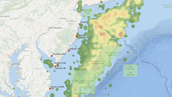
The Fishing theme in Marine Planner now contains 11 Management Areas map layers of importance to fishing vessel operators in the Mid-Atlantic. The collection includes new maps and those that have been updated based on recent regulatory decisions. They are:
- Dedicated Habitat Research Areas
- Gulf of Maine (GOM) Cod Protection Closure Areas
- Groundfish Closure Areas
- Groundfish Spawning Measures
- Habitat Management Areas
- Herring Management Area
- Lobster Management Areas
- Nantucket Lightship Closed Area Exemption Areas
- Sea Scallop Rotational Areas
- Surfclam/Ocean Quahog Environmental Degradation Closures
The collection also contains the Frank R. Lautenberg Deep-Sea Coral Protection Area, which was previously published and remained unchanged. For more information on these and other fishing maps available in Marine Planner, visit the Portal’s Data Catalog.
Share this story