The Data Catalog offers background information, download options, metadata and important links pertaining to map layers found on the Portal. You can explore the data available under each of the Portal's themes below.
To learn more about how data is selected for inclusion in the Portal, read our Spatial data evaluation and criteria (pdf) fact sheet.
Numerous federal, regional, and state political and management boundaries of the Mid-Atlantic are compiled here to provide a regulatory context to help facilitate well-informed ocean planning decisions.
View the locations of aquaculture leases and other managed areas in Mid-Atlantic waters.
View current and proposed Mid-Atlantic conservation areas.
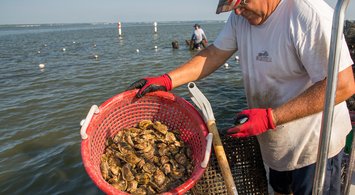
Explore dozens of maps depicting the extent and locations of commercial and recreational fishing activities throughout the upper East Coast.
Explore dozens of maps depicting the extent and locations of commercial and recreational fishing activities throughout the upper East Coast.
From its vast, gently sloping continental shelf to its steep, rocky canyons, the region’s seafloor terrains support diverse and vibrant ecosystems.
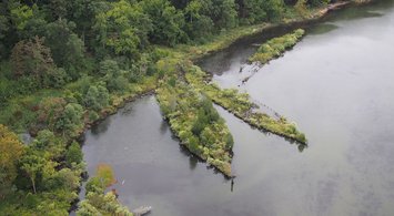
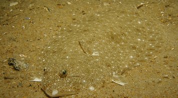
The Mid-Atlantic region is well known for nutrient-rich and highly productive waters. Its estuaries, salt marshes, sea grasses, barrier islands, cold water corals, and submarine canyons provide spawning, nursery, and forage habitats that support diverse r…
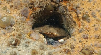
The Marine Life Library is home to thousands of maps depicting populations of individual species of fish, birds and marine mammals along the East Coast. The maps were created by the Marine-life Data and Analysis Team (MDAT) and Northeast Data Portal in co…
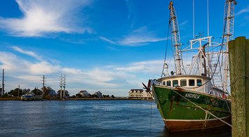
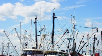
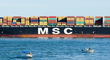
The Mid-Atlantic is home to some of the busiest facilities in the nation’s seaport network. Learn more about regional maritime in the issues via MARCO’s Maritime Commerce & Navigation Work Group, which seeks to integrate the safe transit of people and goo…
From the depths of the Mid-Atlantic's submarine canyons to its sandy beaches, explore the physical and chemical properties of the ocean through our Oceanography theme, now under development.
The many places and ways that people interact with the ocean are summarized here in 12 easy to understand maps. Download our final report about the HUDS project at http://bit.ly/2rACkEj.
The Mid-Atlantic boasts countless opportunities for entertainment and leisure activities and has flourishing travel, tourism, and outdoor recreation industries, many of which are focused on the region’s natural features. Visit MARCO’s Recreation Work Grou…
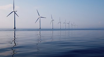
Examine proposed and active offshore wind energy project areas and infrastructure locations in the Mid-Atlantic. Maps are organized in four dropdown categories ranging from earliest in the development process ("Planning and Lease Areas") to furthest along…
The Mid-Atlantic is home to important naval installations and training areas, and it’s a busy corridor for commercial shipping and naval and other defense and security operations.
Learn about the ocean’s value to your local economy with the Portal’s Socioeconomic data. The map data are derived from the Economics: National Ocean Watch (ENOW) Explorer database, available through NOAA’s Office for Coastal Management Digital Coast Part…
A healthy ocean ecosystem is critical to our region’s economies and communities. Pollution and changes in ocean chemistry have the potential to create environmental, social, economic and cultural impacts. Learn more about MARCO’s work on water quality is…