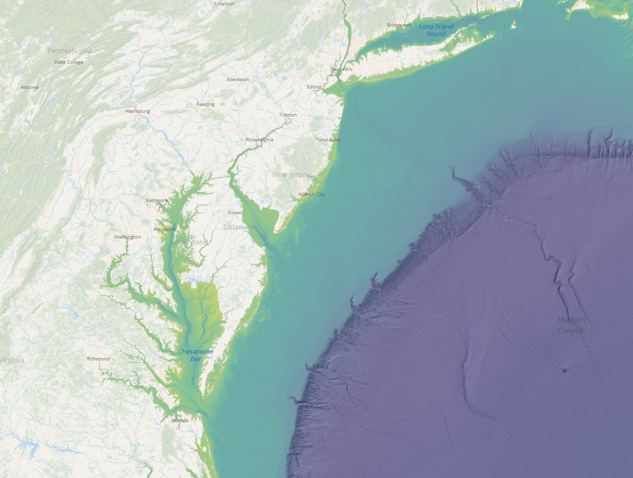
BlueTopo, a compilation of the nation's best available bathymetric data, was recently extended to cover Mid-Atlantic waters and can now be viewed on the Portal. Created as an extension of the National Oceanic and Atmospheric Administration (NOAA) Office of Coast Survey's nautical charting mission and the National Bathymetric Source program, BlueTopo is curated bathymetric source data that provides a definitive nationwide model of the seafloor and navigational lakes.
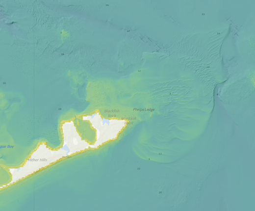
A NOAA BlueTopo view of the Sandy Hook Reef, about 2 miles from shore in New Jersey.
BlueTopo is unique in its delivery of consistently formatted bathymetry, transparency of metadata, and method of compilation. The design and implementation of the National Bathymetric Source project and BlueTopo also involves the intentional use of open source software and code to ensure flexibility.
Though other compilations of bathymetry exist, BlueTopo is the first of its kind that will account for changes in data quality over time. BlueTopo will be updated on a weekly to monthly basis, according to regional rates of coastal change and availability of new source data.
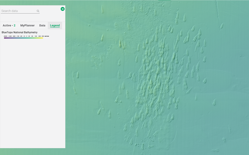
Portal users can find the data in the Habitat theme by clicking on the “Bathymetry” dropdown. Selecting BlueTopo National Bathymetry will activate two layers which blend together to vividly illustrate the seafloor: BlueTopo Hillshade, which provides a high-resolution view of seafloor features in greyscale; and BlueTopo National Bathymetry, which imparts a color ramp to indicate ocean depths. Users can adjust the default view by increasing or lowering the layers’ opacity levels in the Active tab.
Users can click on any point for a popup containing its estimated depth in meters. The Portal also offers a BlueTopo Tile Scheme layer that can be clicked for links to download the data in each gridded area or access its metadata.
NOAA’s nowCOAST web app contains additional BlueTopo maps, including layers for viewing the source data’s survey dates, uncertainty values, source institutions, and more. Those interested in further information may visit the BlueTopo homepage and read its Frequently Asked Questions (FAQs).
Also on the Portal
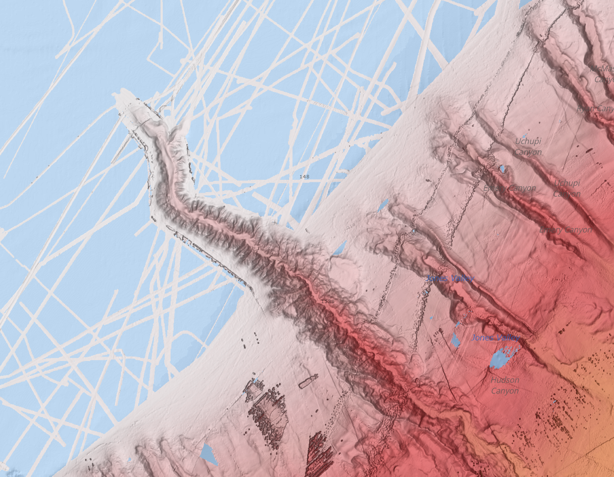
The Portal’s Bathymetry collection contains five additional layers with varying coverages and purposes. They include a Regional Bathymetry layer that offers a simple, low resolution snapshot of depths along the East Coast; Bathymetric Contours, with lines signifying depths from Maine to Florida; NCEI Multibeam Archive, highlighting the canyons and deep sea areas beyond the continental shelf break; NCEI Topographic and Bathymetric Mosaic, bridging features between coastal lands and nearshore waters; and NOAA NOS Hydrographic Survey Data, providing patches of high-resolution mapping in U.S. oceans, estuaries and the Great Lakes.
Users may also be interested in browsing the Habitat theme’s maps depicting seafloor sediment makeups, benthic habitats, and more.
The BlueTopo addition comes as part of an effort by MARCO to engage experts and stakeholders in the Mid-Atlantic to improve the breadth of seafloor data on the Portal. Visit the blog again soon for further updates.