The following updates were recently made to the Portal’s Renewable Energy theme.
Atlantic Shores North: A map of the Atlantic Shores North project area has been added to the Offshore Energy Projects Under Review collection in light of the Bureau of Ocean Energy Management’s (BOEM) recent decision to initiate an environmental review of the proposed Construction and Operations Plan. A map showing the neighboring Atlantic Shores South project can also be found by clicking the Projects Under Review dropdown. Both are located roughly 8 miles off the coast of South Jersey.
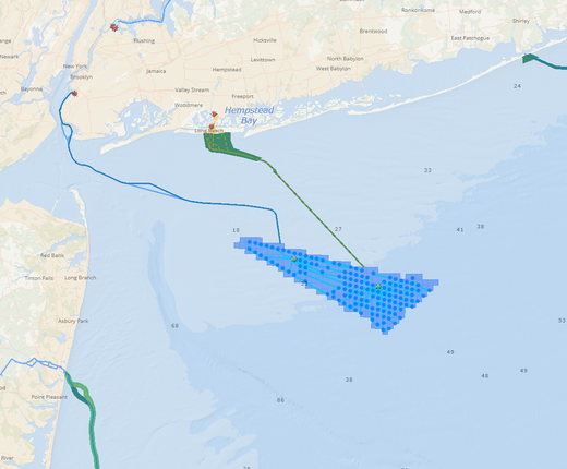
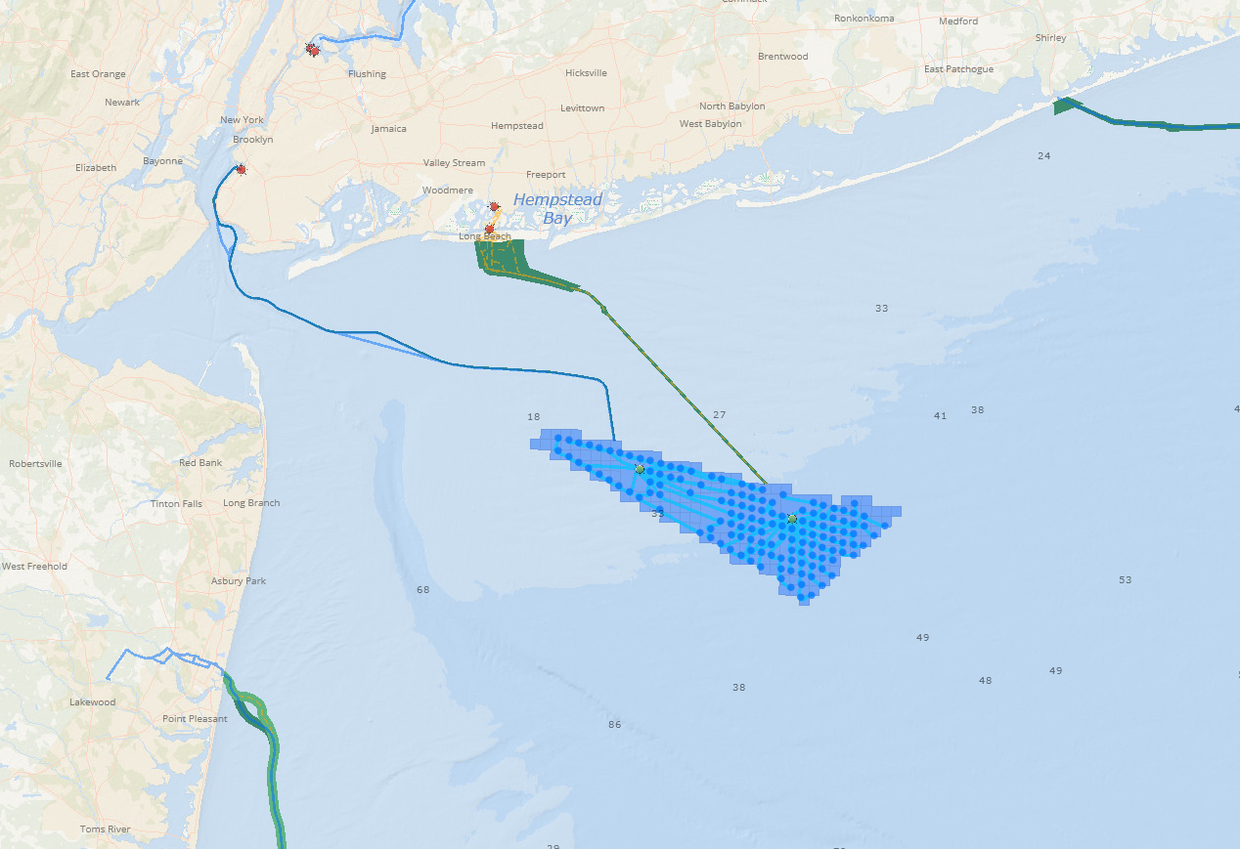
Empire Wind: A map of the Empire Wind project area has been moved from the Offshore Energy Projects Under Review collection to Permitted Projects after BOEM’s approval of the project’s Construction and Operations Plan. At its nearest point, the project is located 13 miles off the coast of Long Island.
Sunrise Wind: A map of the Sunrise Wind project area has been moved from the Projects Under Review collection to Permitted Projects in light of a recently announced approval by BOEM. The project is located approximately 30 miles east of Montauk, New York.
Gulf of Maine Final Wind Energy Area: On March 15, BOEM announced the designation of a Final Wind Energy Area (Final WEA) in the Gulf of Maine totaling about 2 million acres and ranging from approximately 23-92 miles off the coast. A Notice of Intent to prepare an Environmental Assessment(EA) was published in the Federal Register on March 18, initiating a 30-day public comment period. The WEA has been added to the BOEM Wind Planning Areas map layer, which can be found by clicking the Planning and Lease Areas dropdown.
The maps listed above are among the dozens of layers depicting project areas, proposed and installed infrastructure, and more in the Portal’s Renewable Energy theme. Data there is bundled in four collections, essentially arranged from the least (Planning and Lease Areas) to furthest along (Operational Offshore Energy Projects) in the development process. Portal users can also browse the Current Agency Actions & Public Comment Opportunities page for recent notices related to offshore wind planning in the Mid-Atlantic.
Questions? Email portal@midatlanticocean.org.