
A trio of new map layers on the Portal provide a detailed view of navigation channels maintained by the U.S. Army Corps of Engineers (USACE). The Channel Area, Channel Reach and Channel Quarter layers can be found in the Portal’s Maritime theme by clicking on the “Channels” dropdown.
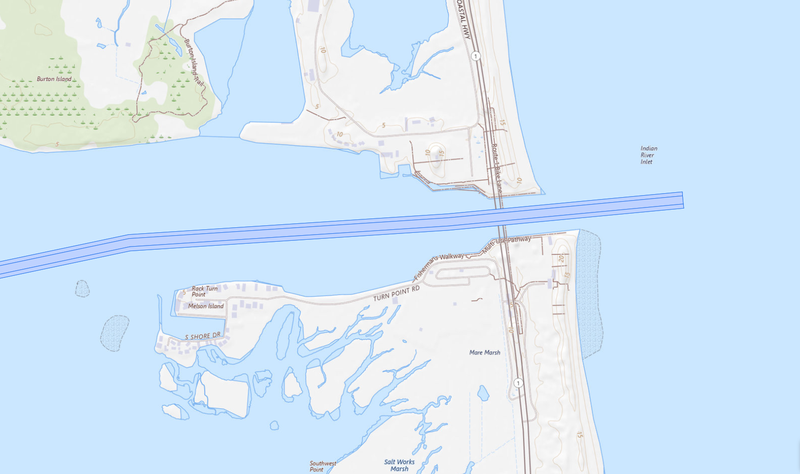
Above: A map view of the navigational channels at Indian River Inlet in Delaware.
The layers are set as companions – meaning all three will activate when users click on any one of them – and they are programmed to automatically appear at zoom levels appropriate to their scales. For example, when a user clicks on one of the layers at a scale showing the full state of Maryland, the Channel Area map will show; when they zoom in for a view of specific waterways in the Baltimore area, the Channel Reach map will show; and finally, the Channel Quarter map will appear for the most closeup views of the harbor and its tributaries.
USACE channels are divided into separate sections called reaches. Reaches have specific project dimensions including depth, width and length, and are further divided into quarters. A reach may be divided into four equal quarters, or a mid-width and two outside quarters, depending upon the width of the channel. Users can click on any channel reach or quarter segment for a popup containing information including its maintained depths, widths, and the waterway name.
The data is provided through the National Channel Framework (NCF), an enterprise geographic information system geodatabase of high-and medium-tonnage Congressionally authorized navigation channels maintained by the USACE. It serves as the basis for the National Oceanic and Atmospheric Administration's Electronic Navigation Charts as well as other products.
With the addition of this more detailed data, the Portal has retired its previous Navigation Channels data layer. Please update any links or map projects relying on this layer accordingly.