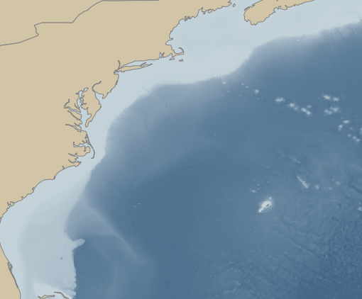
Mid-Atlantic Regional Association Coastal Ocean Observing System (MARACOOS) covers the region from Cape Cod, MA to Cape Hatteras, NC for U.S. IOOS. Its OceansMap provides real-time observational data including wind, wave, water level, salinity and temperature data.
Northeast Ocean Data Portal provides maps and data for ocean planning in the northeastern U.S.
The Northeast Regional Habitat Assessment Data Explorer is a tool created by the Mid-Atlantic and New England fishery management councils that allows users to explore information on fish distribution and survey abundance, species life history, essential fish habitat (EFH), fish vulnerability to climate change and more.