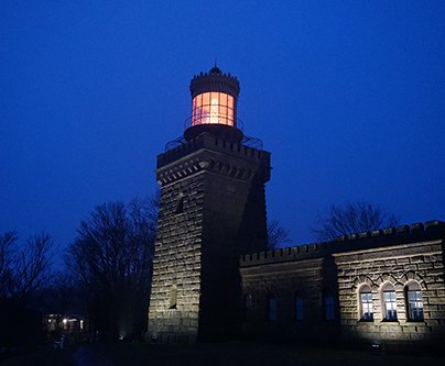
Cape Henry Lighthouse. Old Barney. The Twin Lights of the
Navesink. Montauk Point Light. The Mid-Atlantic is home to some of America’s most
storied and iconic lighthouses. No longer the critical aids to navigation they
were in eras past, the region’s lighthouses remain important parts of the
coast’s cultural fabric and beloved tourist attractions.
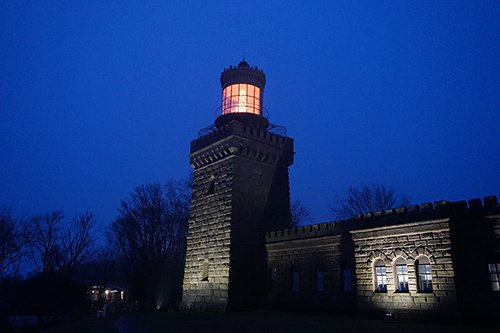
Now users can scan the shoreline for these sites with our US Historical Lighthouses map, found in Marine Planner’s Maritime theme. The map was first published by our partners at MarineCadastre.gov.
Click on a lighthouse to learn about the structure’s name, location, height and, when available, a link to historical information. Beyond the Mid-Atlantic, the map includes data for hundreds of lighthouses located along the East and West coasts, Hawaii, Alaska and Puerto Rico.
Those interested in the region’s rich maritime history may also explore our Wrecks and Obstructions map. For a full list of the Portal’s interactive map layers, visit our Data Catalog.