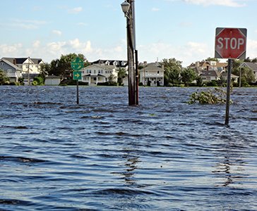
Our July 11 webinar showcased online mapping tools in the Mid-Atlantic that illustrate risks posed to coastal areas, such as flooding, severe storms and sea level rise. This webinar featured guests demonstrating innovative sites focused at the city, state, regional and national levels: Kyle Spencer, City of Norfolk; Matt Campo, Rutgers University; Dan Rizza, Climate Central; and moderator Karl Vilacoba of Monmouth University and the Mid-Atlantic Ocean Data Portal Team.
Please enjoy and share the recording below. We also offer the following links for key features discussed during the webinar:
- Climate Central’s Sea Level Rise and Coastal Flood Web Tools Comparison Matrix
- Tidal Inundation Tracking Application for Norfolk (TITAN)/City of Norfolk
- NJ Flood Mapper
- Climate Central’s free Maps & Tools
- Guide to using the Portal’s ArcGIS Service Input Tool
- Upcoming webinar: Risk Communication in the Post-Sandy Era