



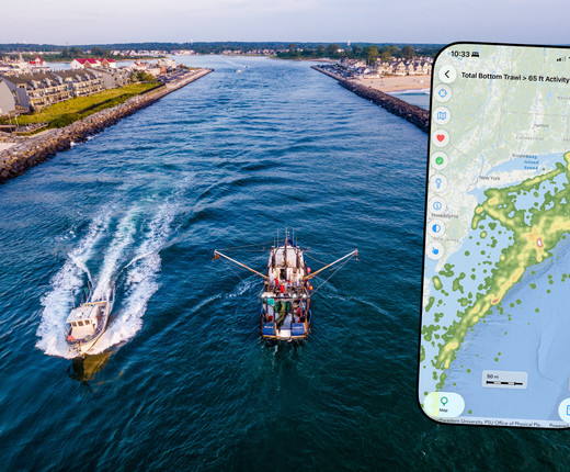
The July 7 edition of MARCO’s #HowTuesday webinar series covered two apps every beachgoer and boater should have on their phones this summer: the Mid-Atlantic Ocean Data Portal’s mobile app and MyCoast.
Version 2 of the Portal’s mobile app was recently released in the Apple App Store and Google Play. Among the upgrades in the latest version are a redesigned viewer with a more spacious screen, the ability to tap your screen for pop-ups with more information about maps, access to data types that weren’t previously supported, and improved search capabilities that make it easier to find what you need. A tutorial was provided by Ava Taylor and Anjali Narang, software developers and recent graduates of Monmouth University’s Department of Computer Science and Software Engineering.
The webinar also provided a tour of the MyCoast mobile and desktop app, which allows users to upload photos and information to document issues such as tides, changing shorelines, flooding, and other categories prioritized in individual state versions of the app. MARCO recently introduced new data collection categories for users in the Mid-Atlantic on what, where, when, and how people are enjoying coastal areas, and what wildlife they’re encountering. The BoatUS Foundation is also developing a national database to track ADVs using MyCoast as a platform for the public and organizations to report them, helping identify problem areas and their scope, track prevention and removal efforts, and more. Devon Haines of the New Jersey Department of Environmental Protection Bureau of Climate Resilience Planning provide a presentation on MyCoast’s capabilities.
The webinar was moderated by Monmouth University Urban Coast Institute Communications Director and Ocean Data Manager Karl Vilacoba.