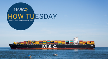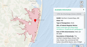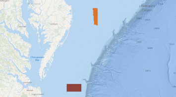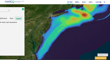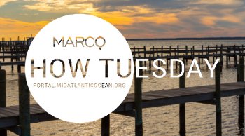
Watch: June 2026 Intro to the Portal Webinar
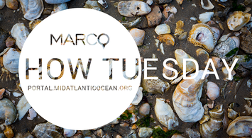
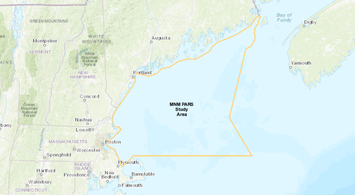
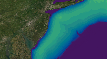
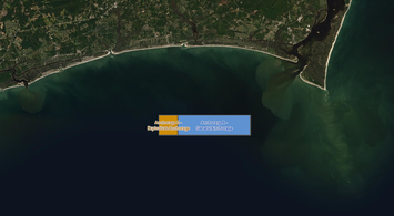
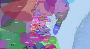
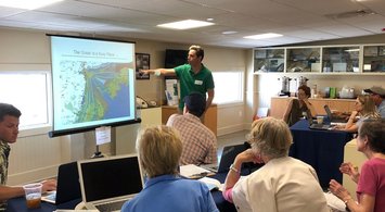
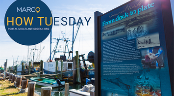
Our June 23, 2026, “How Tuesday” webinar provided a comprehensive overview of the Portal’s data, tools and features. The lesson was provided by Portal Project Manager Karl Vilacoba of Monmouth University's Urban Coast Institute.